
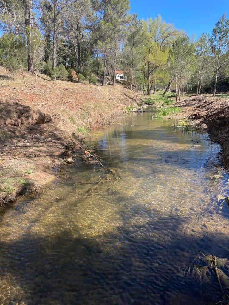
The walk starts in a wooded secluded area (where it’s easy to park) with a fountain between kilometers 18 and 19 of the CV-429 road. You start along an ascending path that joins up with the GR-7 after about 100 meters. You continue to the right through a copious pine forest and arrive at the seemingly abandoned houses of Tabarla (although one of the houses looks as if it might be someone’s summer residence). You take a lane to the left away from these houses. After a few meters you continue along a path to the right and descend towards the River Magro.
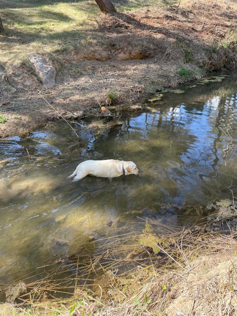
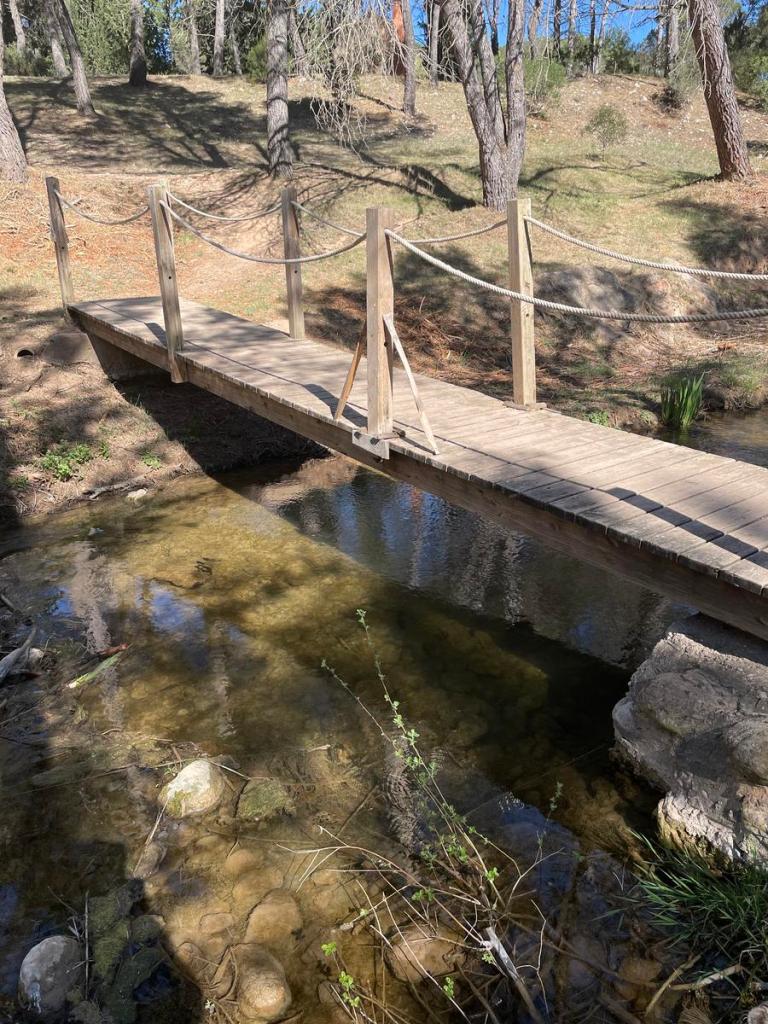
Once down by the banks of the Magro River, you follow it downstream and cross over it using a wooden bridge (my dog, Sandy, enjoyed the river). After crossing the bridge, you continue straight on going uphill and take a sharp left ascending a surprisingly steep narrow path. This is where this walk becomes a bit of a slog (hard work but spectacular).
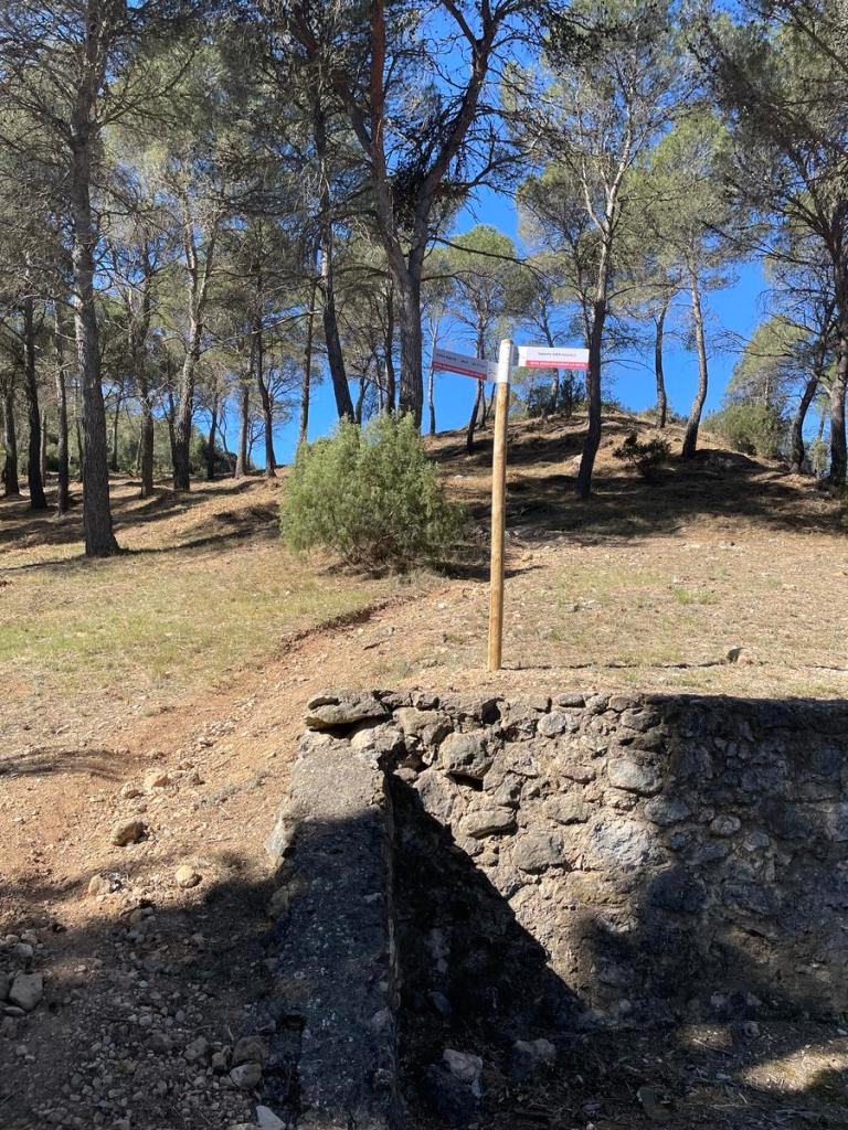
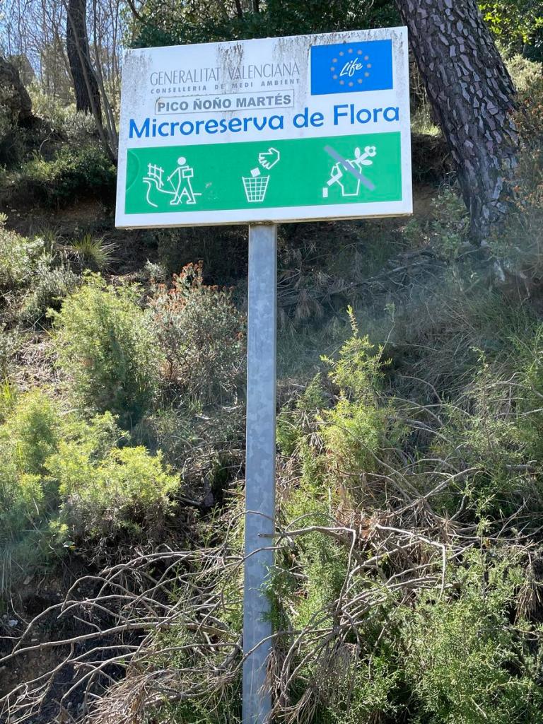
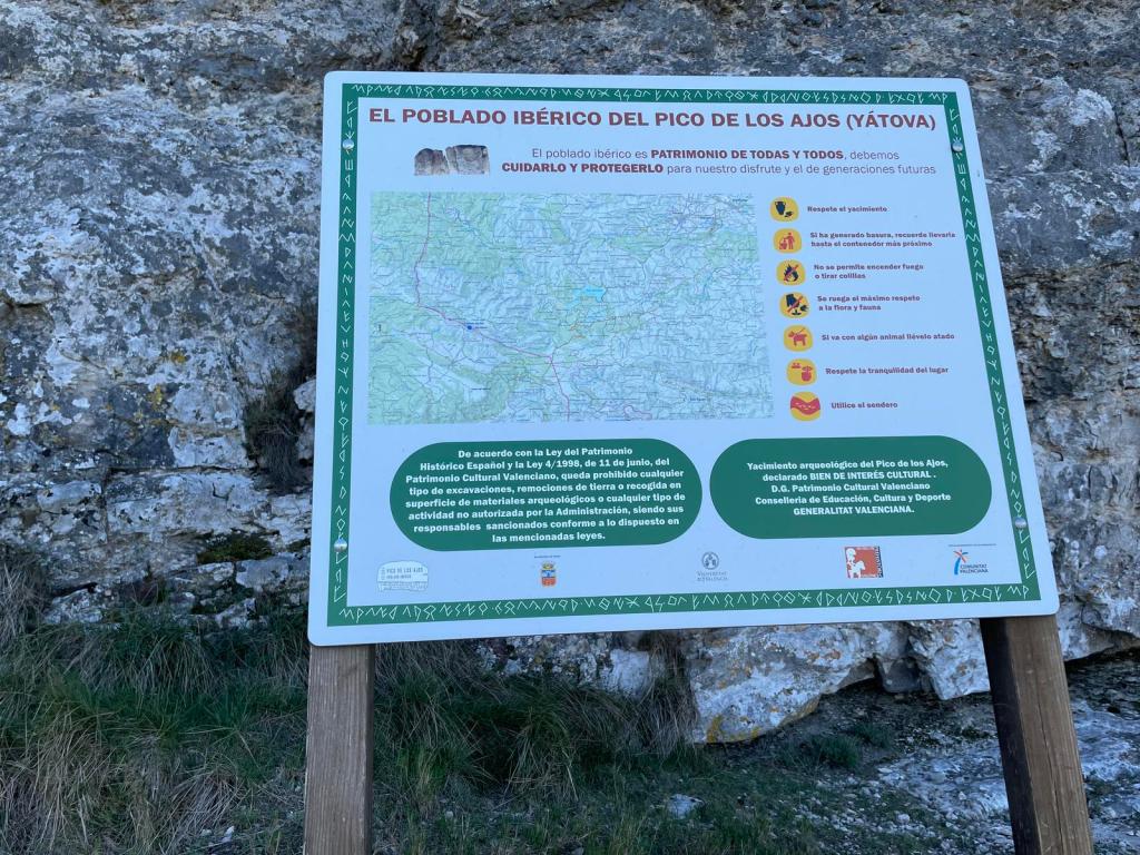
By the end of the walk, you will have passed by Pico Noño 1075 mts and ascended Pico de los Ajos 1034 mts (very nearby only slightly further on are Pico Morales 1062 mts and Pico Martés 1085 mts). As the ascent is steep, you quickly gain height on the hill/mountain. Near the top of the hill, you turn left and shortly afterwards you turn right. You walk along a ridge and then down into a valley/plain and zigzag up the other side making the long climb up to Pico Ñoño passing on your way “Refugio Forestal el Manquillo” (if I remember correctly, there is a fountain here). Once past Pico Ñoño, you will come across a second fountain. There was plenty of water for the dog on this walk so I was carrying a lot of extra water for no useful purpose. After the second fountain, there’s about 500 metres to Pico de los Ajos.
https://es.wikiloc.com/rutas-senderismo/pocico-valentin-a-pico-de-los-ajos-y-sierra-martes-132023699


Leave a comment