
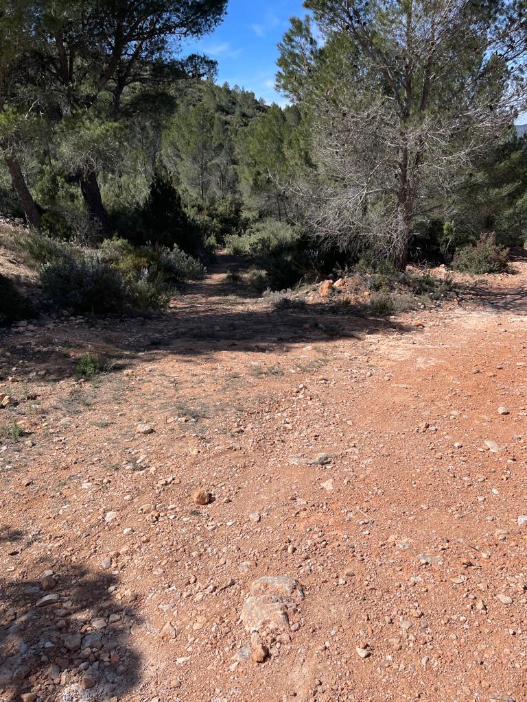
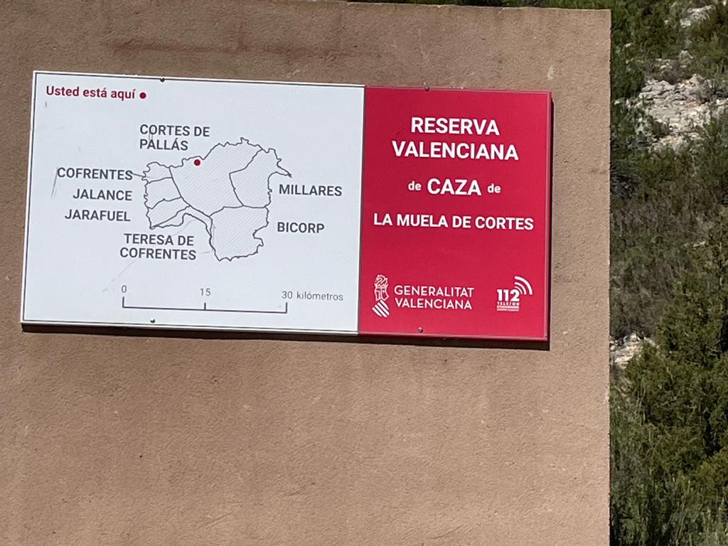
The first part of today’s walk was going uphill leaving Cortés de Pallas (I was travelling north to south). The walk was on a tarmac road (very few cars/no cars). You climb up the road (quite hot despite it being March), winding and twisting until you get to a turn off on your right. There you have two options: turn off on that dirt track that goes off on the right or you could go off on the right and then turn sharp left after 10 metres and that’s what I did.
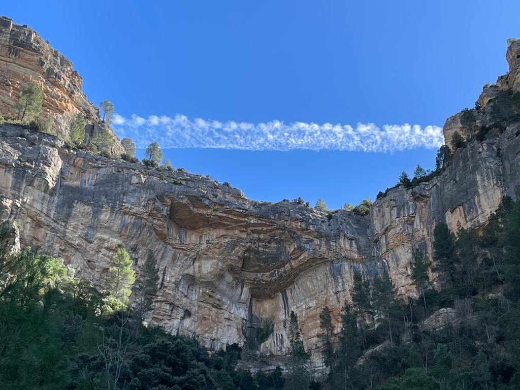
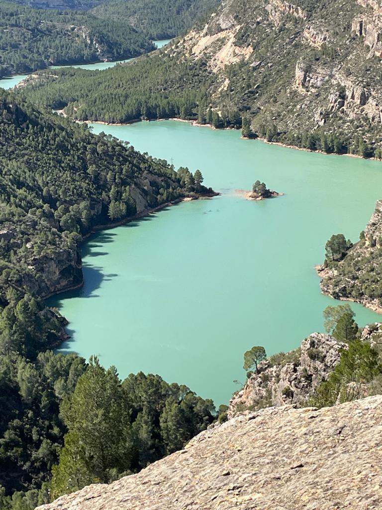
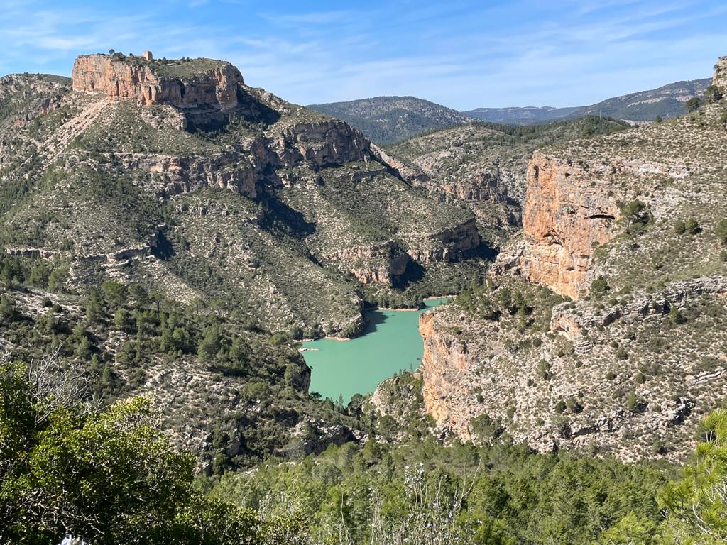
Unfortunately, I found I quickly lost the path and had to go through quite a lot of shrubs and thorny bushes to eventually get back onto the path. I really did lose my way even though I was using a GPS app. It’s a very nice walk along the Rio Júcar and you eventually get to the Barranco .
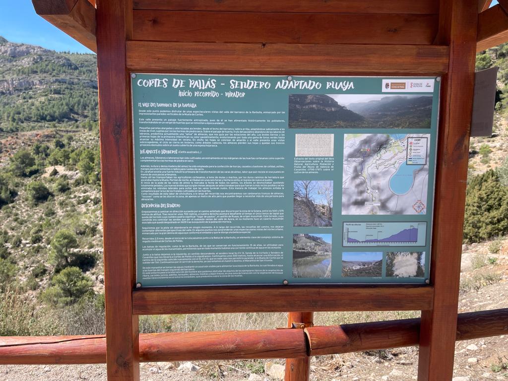
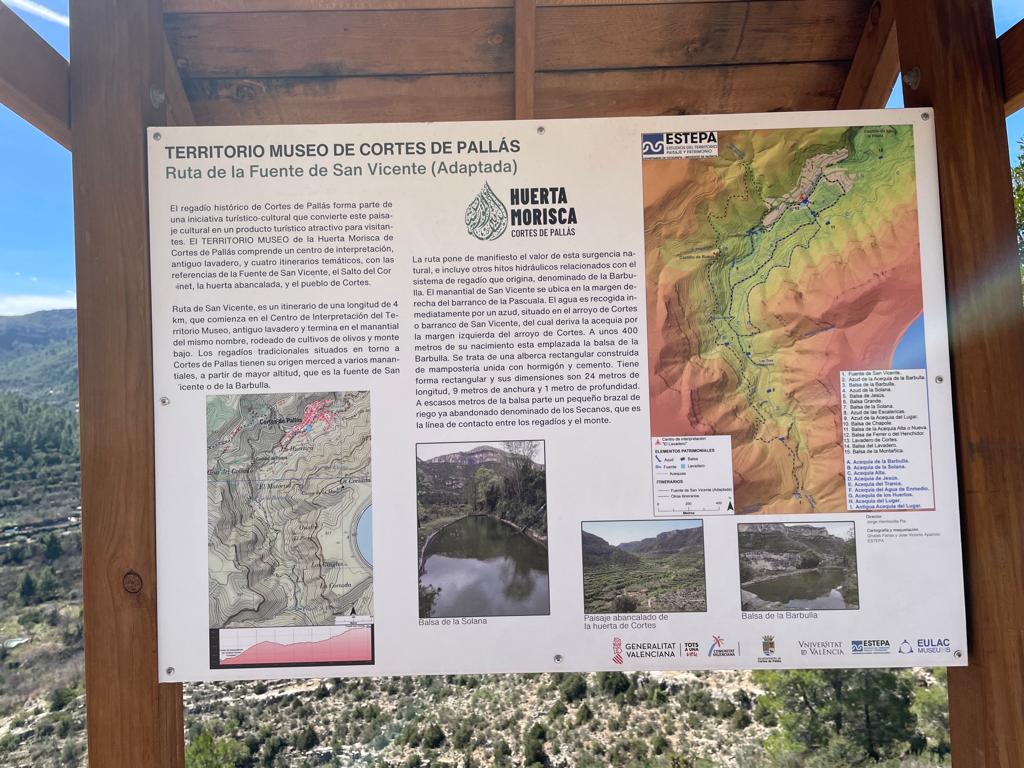
Here is some info on the river, as I have been talking quite a lot about the river in my last few blog entries. The Júcar (Spanish)or Xúquer (Valencian) is a river in Spain, which flows for approximately 500 km from its source at Ojuelos de Valdeminguete, on the eastern flank of the Montes Universales in the Sistema Ibérico. Its most important tributary is the Cabriel. The Júcar River flows first southward and then eastward through the towns of Cuenca, Alcalá del Júcar, Cofrentes (nuclear power station), Alzira, Sueca and Cullera, a town located near its mouth into the Gulf of Valencia in the Mediterranean Sea. It crosses the provinces of Cuenca, Albacete and Valencia.
The walk is highly recommended. I would recommend looking at my trail where you’ll see that on the way out I went one way and on the way back another way. I recommend my return route whether you’re coming from the south going north or going from north to south. Nevertheless, as we all know, everyone makes their own choices.
You can check out the trail here:
https://es.wikiloc.com/rutas-senderismo/cortes-de-pallas-to-barranco-de-la-zangarriana-128336445

Leave a comment